Athena Review Image Archive ™
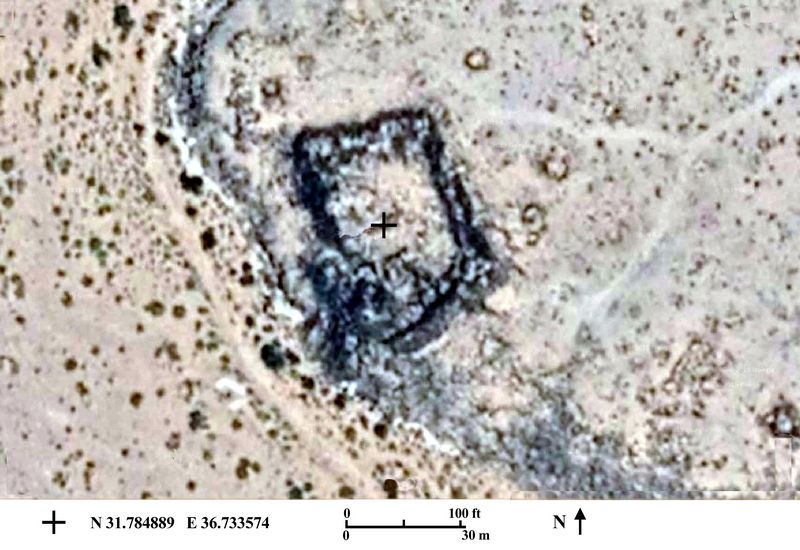
Qasr el Uweinid: Satellite image of Roman fort

Qasr el Uweinid: satellite image of Roman fort (Google Images 2019.)
The fort at Qasr el Uweinid sits on the spur of a ridgetop overlooking the desert, about 20 km south of the oasis at El Azraq. The fort's coordinates are N 31.784889, E 36.733574.
The el Uweinid fort is of a trapezoidal form, about 50 x 35 m in area, with portions of the exterior or curtain wall preserved. A Roman road passed by, connecting el Uweinid with the larger fort at el Azraq to which it was attached as a subsidiary fort, with both forming part of the Limes
[Source: Kennedy and Riley 1990, Rome's Desert Frontier from the Air.]
.Copyright © 1996-2020 Rust Family Foundation (All Rights Reserved).